Document the Full Journey
Road works are complex, lengthy, and subject to public scrutiny. I help county councils, contractors, and engineering firms document every stage—from pre-construction surveys to final completion.
Three Phase Documentation
Pre-Construction
Baseline aerial imagery before work begins. Existing conditions, drainage, access points.
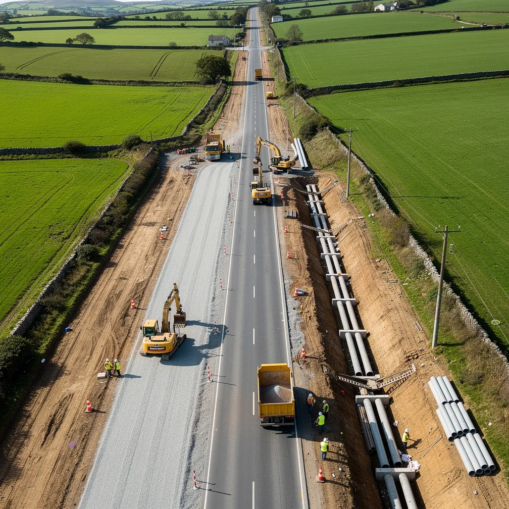
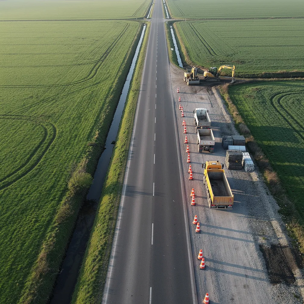
Active Works
Weekly or monthly site visits. Earthworks, drainage, pavement layers, progress tracking.
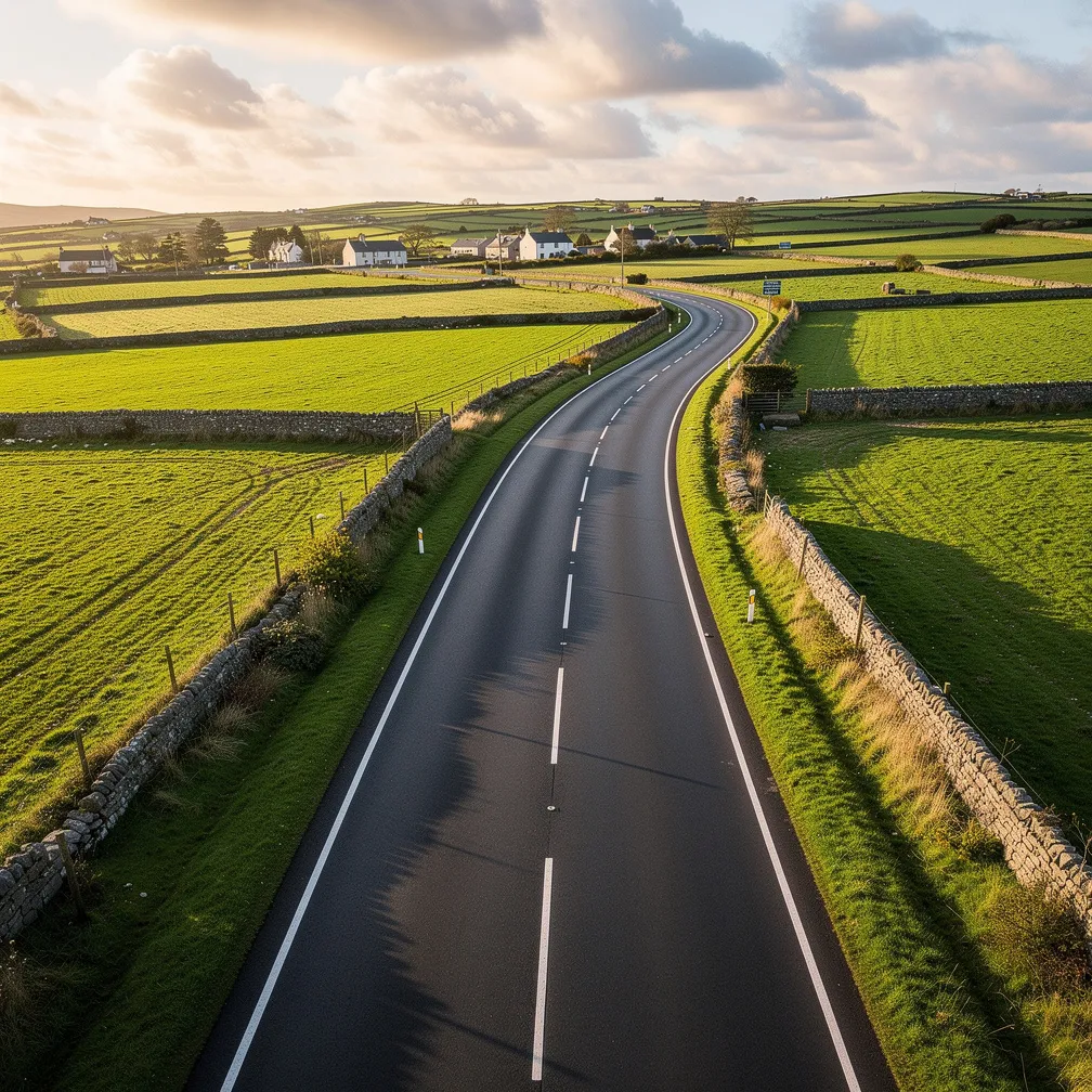
Post-Completion
Final aerial imagery showing finished road, landscaping, signage, and integration.
Services Include
- ✓ Pre-construction surveys – baseline for planning and public consultation
- ✓ Progress monitoring – weekly, bi-weekly, or monthly site visits
- ✓ Completion documentation – final imagery for handover and snagging
- ✓ Public information imagery – for council websites and funding reports
📸 AI-generated sample images. Client privacy protected.