Supporting Irish Farming
Farming is the backbone of rural Ireland. I help farmers, landowners, and agri-contractors keep an eye on their land without spending hours on foot or in the jeep.
Survey Examples
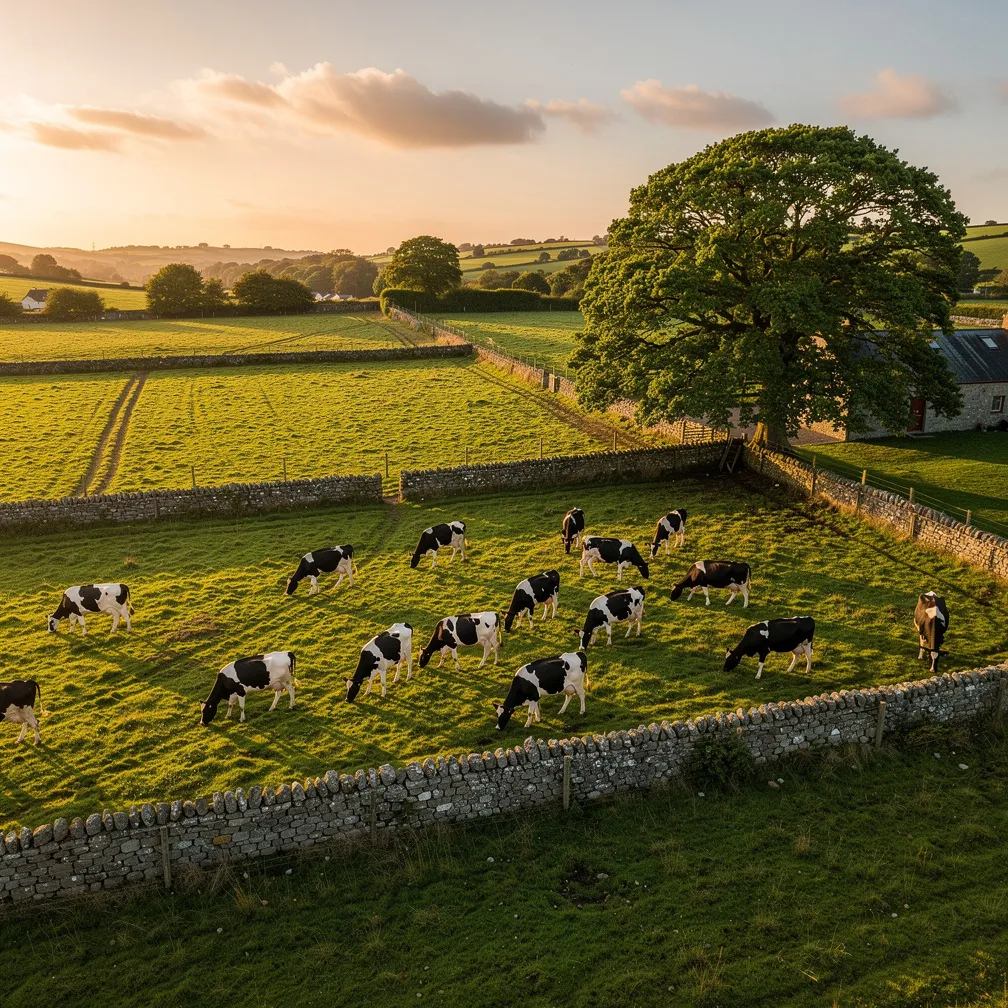
Livestock Monitoring
Quick aerial check on herd location, health, and movement. Saves walking wet fields.
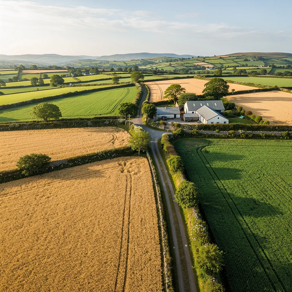
Crop & Field Inspection
Identify drainage issues, crop stress, patches of poor growth, or weed pressure early.
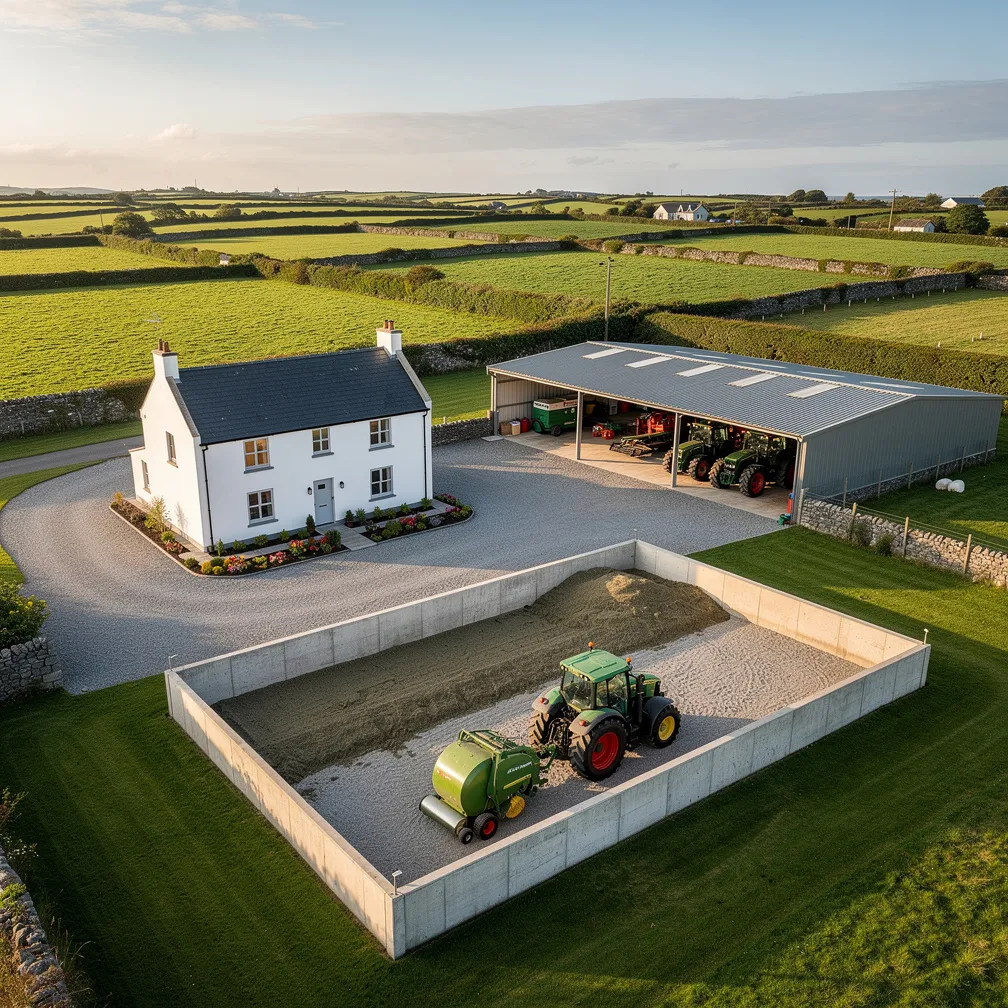
Farmyard & Infrastructure
Aerial shots of sheds, yards, access roads, and farm buildings for insurance or planning.
Services Include
- ✓ Livestock monitoring – herd location, health, calving checks
- ✓ Crop & field inspection – drainage, stress, poor growth areas
- ✓ Fencing & boundary checks – fallen trees, broken fences, encroachment
- ✓ Land & drainage surveys – wet patches, blocked drains
- ✓ Farmyard & infrastructure – sheds, yards, buildings for records
Why Aerial?
A farm is too big to walk every day. A drone covers 100 acres in minutes—giving you a clear picture of what's happening across your land.
📸 AI-generated sample images. Client privacy protected.